 Weather World

Robin Hill Church, AL Weather Maps
Aeronautical Observation: Automated synoptic observations via NWS Gateway.
Auto-refresh in: 5:02
Issued: 1034 PM CDT Fri Aug 14 2026
... (Saturday through next Friday) Issued at 1032 PM CDT FRI AUG 14 2026
The main story over the next several days will be our prolonged and dangerous heat wave. A strengthening upper level ridge will lead to increasing temperatures over the weekend and into next week. Temperatures will soar into the mid to upper 90s for most of the region through Monday. Those across our western areas will see readings around 100-101 degrees at times. Continued humid conditions will keep heat indices generally in the 105-109 range. A few locations may briefly see heat indices in the 110-112 range over the weekend. Similar to our thinking last night, the areal coverage will likely not be widespread enough to warrant an upgrade to an Excessive Heat Warning at this time. We will continue to monitor the trends and upgrade if necessary. Heat Advisories are currently in effect through Sunday evening.
This pattern will continue to promote a typically summertime convection regime with low to moderate (20-50%) chances for showers and storms. Greatest chances for showers and storms will be across our southern areas as deeper moisture spreads inland. Those across central and north-central Alabama will likely remain dry as ridging helps keep a lid on things. However, an isolated shower or storm wouldn`t be surprising across north-central Alabama.
95/Castillo
... (00Z TAFS) Issued at 636 PM CDT FRI AUG 14 2026
VFR conditions and light winds are currently in place across all terminals and are likely to persist through this cycle. Convection is beginning to wane across our southeastern areas. However, there is a low chance for additional development through the evening as outflow boundaries linger. Due to low confidence, opted to not include in the TAF at this time. There is also a low chance for patchy MVFR fog early Saturday morning for those that received rain today. Another round of convection is likely across our southern areas tomorrow afternoon. Therefore, have introduced a PROB30 for TSRA at AUO/MGM.
Note: AMD NOT SKED for AUO due to a weather observation outage.
95/Castillo
...
As ridging builds this weekend, conditions will turn drier, with MinRH values dropping into the 35 to 40 percent across western and southwestern counties. Winds will remain light through the period. Look for isolated to scattered afternoon showers and thunderstorms through the next several days, with the greatest chances across our southern areas. Elevated fire weather concerns will remain low over the next seven days, but may begin to increase if rain-free conditions persist.
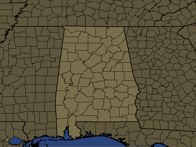
/WARNINGS/ADVISORIES... Heat Advisory until 9 PM CDT Sunday for the following counties: Autauga-Barbour-Bibb-Blount-Bullock-Calhoun-Chambers-Cherokee- Chilton-Clay-Cleburne-Coosa-Dallas-Elmore-Etowah-Fayette-Greene- Hale-Jefferson-Lamar-Lee-Lowndes-Macon-Marengo-Marion-Montgomery- Perry-Pickens-Pike-Randolph-Russell-Shelby-St. Clair-Sumter- Talladega-Tallapoosa-Tuscaloosa-Walker-Winston.