 Weather World


Malcolm Church, ND Weather Maps
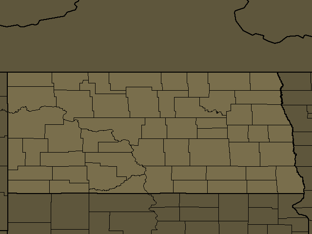
Malcolm Church, ND Regional Weather
Malcolm Church, ND
Day: Patchy fog early in the morning. Mostly cloudy. Highs in the upper 50s. Southwest winds 10 to 20 mph with gusts up to 30 mph, becoming west 20 to 25 mph with gusts up to 40 mph in the afternoon.
Night: Mostly clear. Lows in the lower 30s. West winds 10 to 20 mph.
Jamestown, ND
Day: Patchy fog early in the morning. Mostly cloudy. Highs in the upper 50s. Southwest winds 5 to 15 mph with gusts up to 25 mph, becoming west 15 to 20 mph with gusts up to 30 mph in the afternoon.
Night: Mostly clear. Lows in the mid 30s. West winds 10 to 15 mph. Gusts up to 30 mph in the evening.
Bismarck, ND
Day: Patchy fog early in the morning. Partly cloudy. Highs in the lower 60s. Southwest winds 5 to 10 mph with gusts up to 20 mph, increasing to west 15 to 20 mph with gusts up to 30 mph in the afternoon.
Night: Mostly clear. Lows around 30. West winds 5 to 15 mph.
Harvey, ND
Day: Mostly cloudy. Highs in the upper 50s. Southwest winds 10 to 15 mph with gusts up to 30 mph, becoming west 15 to 20 mph with gusts up to 30 mph in the afternoon.
Night: Mostly clear. Lows in the lower 30s. West winds 5 to 15 mph. Gusts up to 30 mph in the evening.
Carrington, ND
Day: Mostly cloudy. Highs in the upper 50s. Southwest winds around 10 mph with gusts up to 25 mph, becoming west 15 to 20 mph with gusts up to 35 mph.
Night: Mostly clear. Lows in the mid 30s. West winds 10 to 20 mph. Gusts up to 35 mph in the evening.
Napoleon, ND
Day: Areas of dense fog late, then patchy dense fog in the morning. Mostly cloudy. Highs in the upper 50s. Southwest winds 10 to 20 mph with gusts up to 30 mph, becoming west 15 to 25 mph with gusts up to 35 mph in the afternoon.
Night: Mostly clear. Lows in the lower 30s. West winds 15 to 20 mph with gusts up to 30 mph, diminishing to 5 to 15 mph after midnight.
Linton, ND
Day: Areas of dense fog late, then patchy dense fog in the morning. Mostly cloudy. Highs in the lower 60s. South winds 5 to 10 mph with gusts up to 20 mph, increasing to west 15 to 20 mph with gusts up to 30 mph in the afternoon.
Night: Mostly clear. Lows in the lower 30s. West winds around 10 mph with gusts up to 20 mph, diminishing to up to 5 mph after midnight.
McClusky, ND
Day: Partly cloudy. Highs in the upper 50s. Southwest winds 10 to 20 mph with gusts up to 30 mph, becoming west 20 to 25 mph with gusts up to 40 mph in the afternoon.
Night: Mostly clear. Lows in the lower 30s. West winds 15 to 20 mph with gusts up to 35 mph, diminishing to 5 to 15 mph after midnight.
Edgeley, ND
Day: Areas of dense fog early in the morning. Partly cloudy. Not as cool. Highs in the upper 50s. Southwest winds 10 to 15 mph. Gusts up to 30 mph in the afternoon.
Night: Decreasing clouds. Lows in the mid 30s. West winds 10 to 15 mph with gusts up to 25 mph.
New Rockford, ND
Night: Mostly cloudy. Near steady temperature in the mid 30s. Southwest winds around 10 mph.
Valley City, ND
Night: Mostly cloudy. Near steady temperature in the lower 30s. Southwest winds around 10 mph.
Ashley, ND
Day: Areas of dense fog late, then patchy dense fog in the morning. Mostly cloudy. Highs in the upper 50s. Southwest winds around 5 mph, increasing to west 15 to 20 mph with gusts up to 35 mph.
Night: Partly cloudy in the evening then clearing. Lows in the lower 30s. West winds 10 to 15 mph. Gusts up to 30 mph in the evening.
Washburn, ND
Day: Partly cloudy. Highs in the upper 50s. Southwest winds 5 to 15 mph with gusts up to 35 mph, increasing to west 15 to 25 mph with gusts up to 40 mph in the afternoon.
Night: Mostly clear. Lows around 30. West winds 15 to 20 mph with gusts up to 35 mph, diminishing to 5 to 10 mph with gusts up to 25 mph after midnight.
Cooperstown, ND
Night: Mostly cloudy. Near steady temperature in the lower 30s. Southwest winds around 10 mph.
Rugby, ND
Day: Partly cloudy. Highs in the upper 50s. Southwest winds 10 to 15 mph with gusts up to 30 mph, increasing to west 20 to 25 mph with gusts up to 40 mph in the afternoon.
Night: Mostly clear. Lows in the upper 20s. West winds 15 to 25 mph with gusts up to 40 mph, diminishing to 5 to 15 mph with gusts up to 25 mph after midnight.
Mandan, ND
Day: Patchy fog early in the morning. Partly cloudy. Highs in the lower 60s. Southwest winds 5 to 15 mph with gusts up to 30 mph, increasing to northwest 15 to 25 mph with gusts up to 35 mph in the afternoon.
Night: Mostly clear. Lows around 30. West winds 10 to 15 mph with gusts up to 30 mph, diminishing to up to 10 mph with gusts up to 20 mph after midnight.
Leeds, ND
Night: Mostly cloudy. Near steady temperature in the mid 30s. Southwest winds around 10 mph and gusty.
Towner, ND
Day: Partly cloudy. Highs in the upper 50s. Southwest winds 10 to 15 mph with gusts up to 30 mph, increasing to west 20 to 25 mph with gusts up to 40 mph in the afternoon.
Night: Mostly clear. Lows in the upper 20s. West winds 15 to 20 mph with gusts up to 35 mph, diminishing to 5 to 10 mph with gusts up to 20 mph after midnight.
Center, ND
Day: Partly cloudy. Highs around 60. Southwest winds around 5 mph, increasing to west 10 to 15 mph with gusts up to 30 mph in the morning, then, becoming northwest 15 to 25 mph with gusts up to 35 mph in the afternoon.
Night: Mostly clear. Lows in the upper 20s. West winds 10 to 15 mph with gusts up to 30 mph, becoming northwest after midnight.
Fort Yates, ND
Day: Patchy fog early in the morning. Mostly cloudy. Highs in the lower 60s. Southwest winds 5 to 15 mph, becoming west 10 to 20 mph in the afternoon.
Night: Mostly clear. Lows around 30. West winds 5 to 15 mph.